


 MemberGhana Institution of Surveyors
 MemberGhana Institution of Engineering
 Certified OperatorCommercial RPAS — Ghana Civil Aviation Authority
Expert surveying.
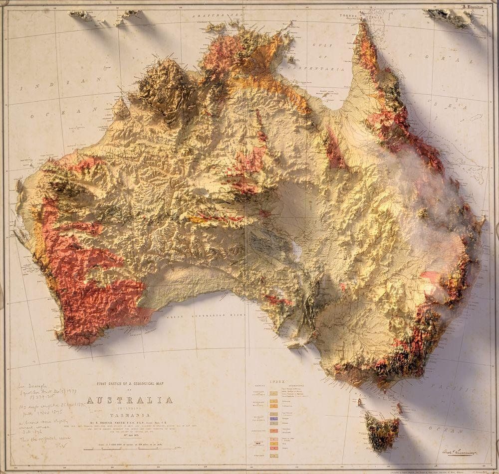
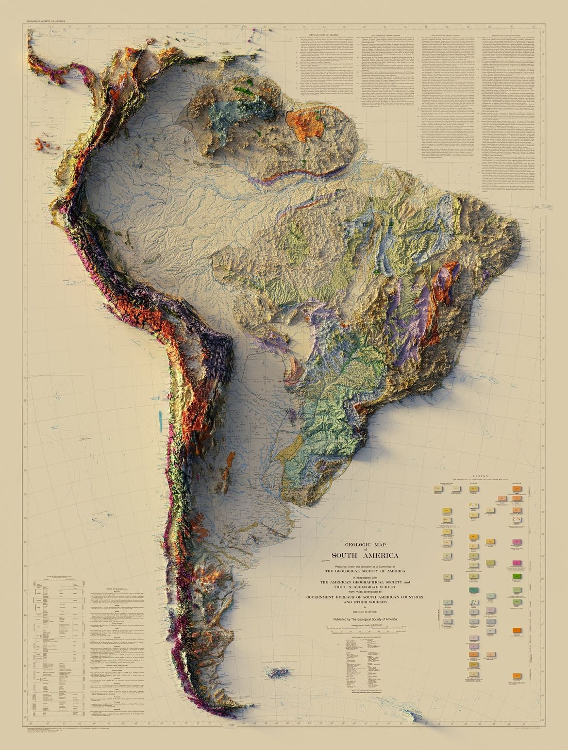
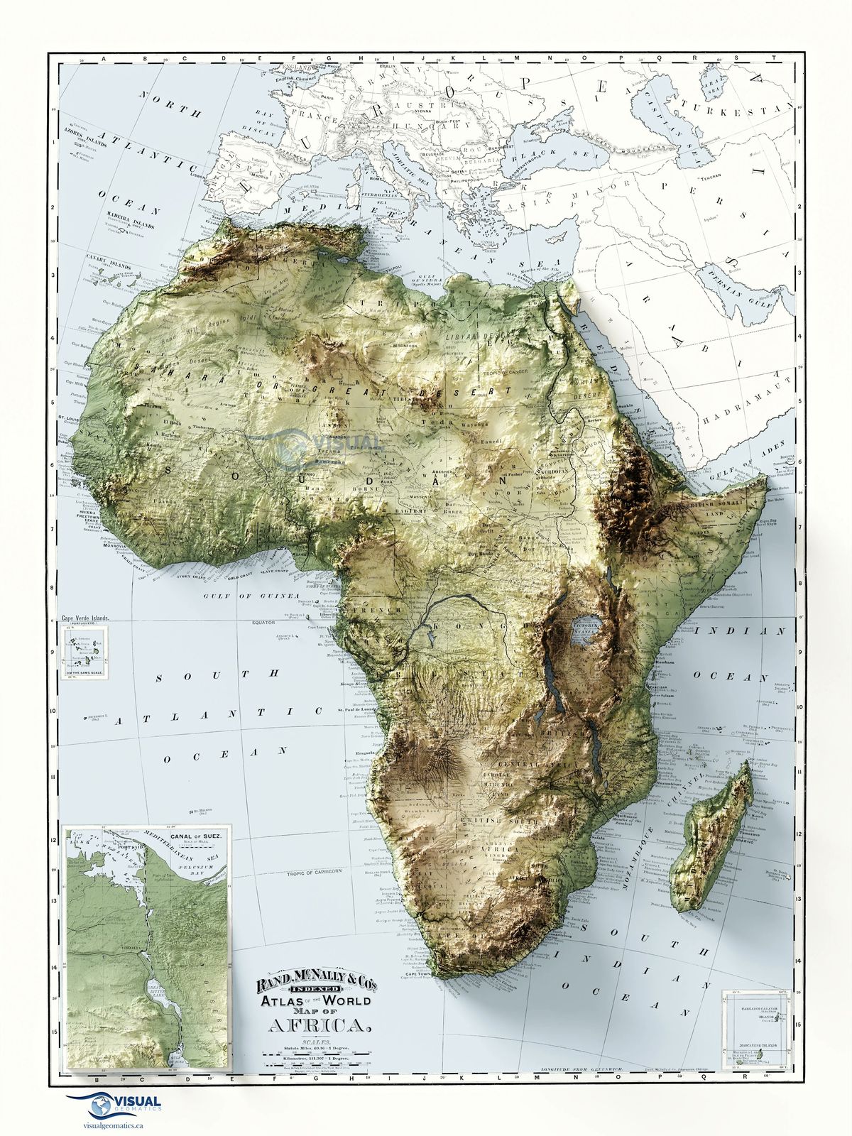
Every terrain.
 01
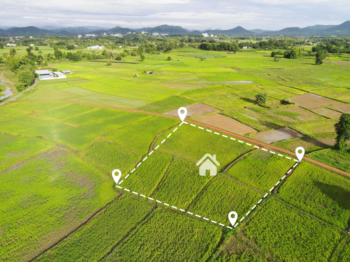
01Land Survey (Cadastral, Topographical & Line Route Surveys)
Topographical, cadastral, engineering, and mining surveys across all terrain types.
Learn more → 02
02Aerial/Drone & LiDAR Surveys
Drone, UAV, LiDAR, and aircraft-based surveys for large-scale and hard-to-reach areas.
Learn more → 03
03Bathymetric Survey
Underwater terrain mapping for rivers, lakes, reservoirs, and coastal environments.
Learn more →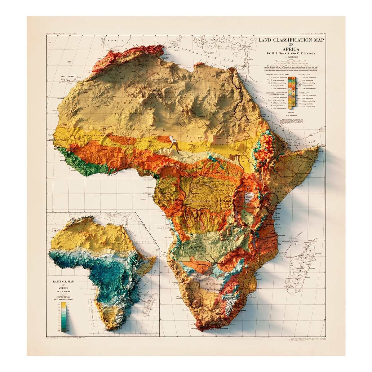 04
04Mapping Services
High-quality mapping including topographical, cadastral, and digital surface models.
Learn more →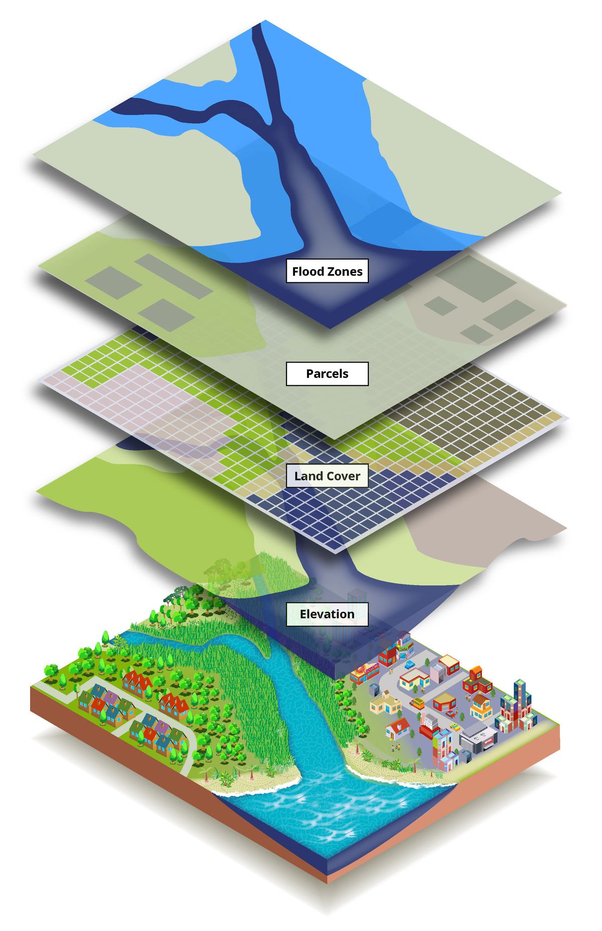
 06
06Land Titling & Management
Expert navigation of land registration and property documentation processes.
Learn more → 07
07Environmental & Social Impact
Assessments and permitting for sustainable project development.
Learn more → 08
08Consultancy & Engineering
Civil engineering design, hydro studies, and geotechnical investigations.
Learn more →
We start with your terrain, not a template.
Every survey begins with a thorough desktop study — existing maps, aerial imagery, and client briefs — before a single instrument is deployed. This means we arrive on site with a plan, not questions.
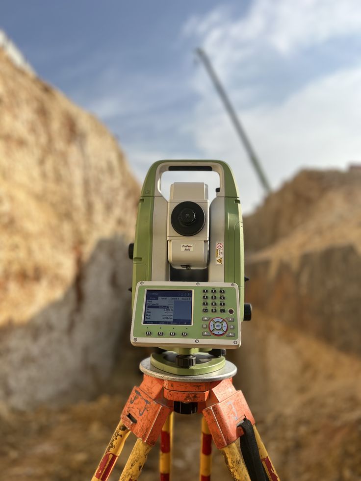
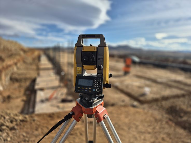
Instruments calibrated to the millimetre.
Our field teams deploy the latest robotic total stations, GNSS rovers, and UAV platforms, all calibrated to international standards. We operate in all terrain conditions with zero compromise on accuracy.
Data you can build, design, and decide with.
From CAD drawings and point clouds to BIM-ready models and GIS datasets — we produce outputs in the formats your engineering team actually uses, with thorough QA review on every deliverable.
Built for every
sector's demands.
From mine sites to motorways, Rudan's precision surveying expertise serves ten sectors across Ghana and the West African sub-region.