Precision services.
Every terrain.
From rooftop setting out to deep-water bathymetry, RUDAN delivers survey-grade data that engineers, planners, and contractors can build on.
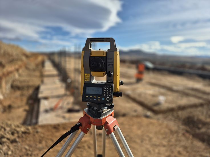
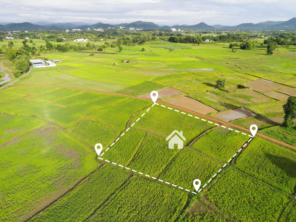
Land Survey (Cadastral, Topographical & Line Route Surveys)
We provide comprehensive land survey services including Topographical Surveys; Cadastral, Site Plan, and Land Acquisition Surveys; Line Route Topographical and Right of Way Surveys; Engineering and Setting Out Surveys; and Mining and Exploration Surveys.

Aerial/Drone & LiDAR Surveys
We deliver high-precision aerial survey services using Drone/UAV platforms, LiDAR sensors, and hired aircraft. Our aerial capabilities cover large-scale topographic capture, corridor mapping, and volumetric analysis for infrastructure, mining, and environmental projects.
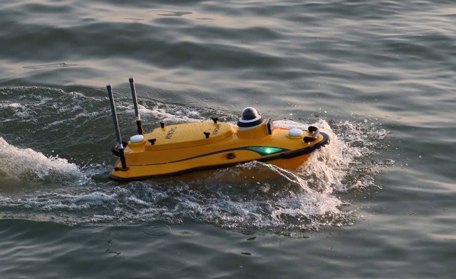
Bathymetric Survey
Our bathymetric survey services provide accurate underwater topographic mapping for rivers, lakes, reservoirs, harbours, and coastal zones. We support hydrological studies, dredging projects, dam safety assessments, and marine infrastructure planning.
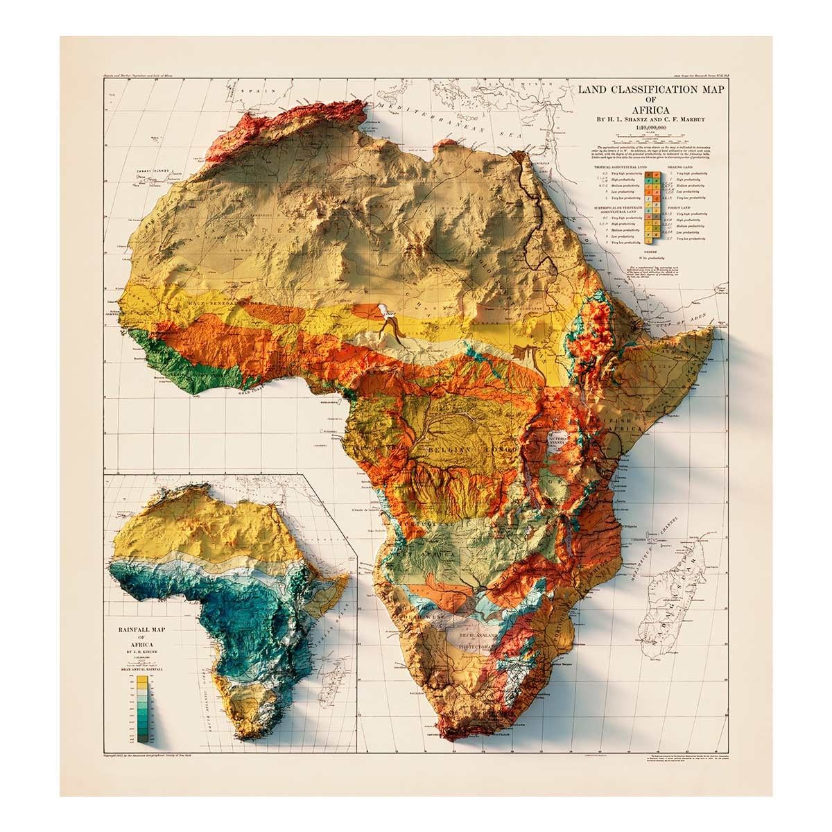
Mapping Services
Our mapping deliverables include Production of Topographical Maps; Topographical line mapping of routes/corridor; Production of Cadastral/Site Plans for Land Acquisition; Production of Right of Way Cadastral Plans; Generation of Digital Surface Models (DSM) and Digital Terrain Models (DTM); Plan and Profile Drawings; Orthophoto Mapping; Thematic Mapping; and Forestry and Natural Resource Mapping.
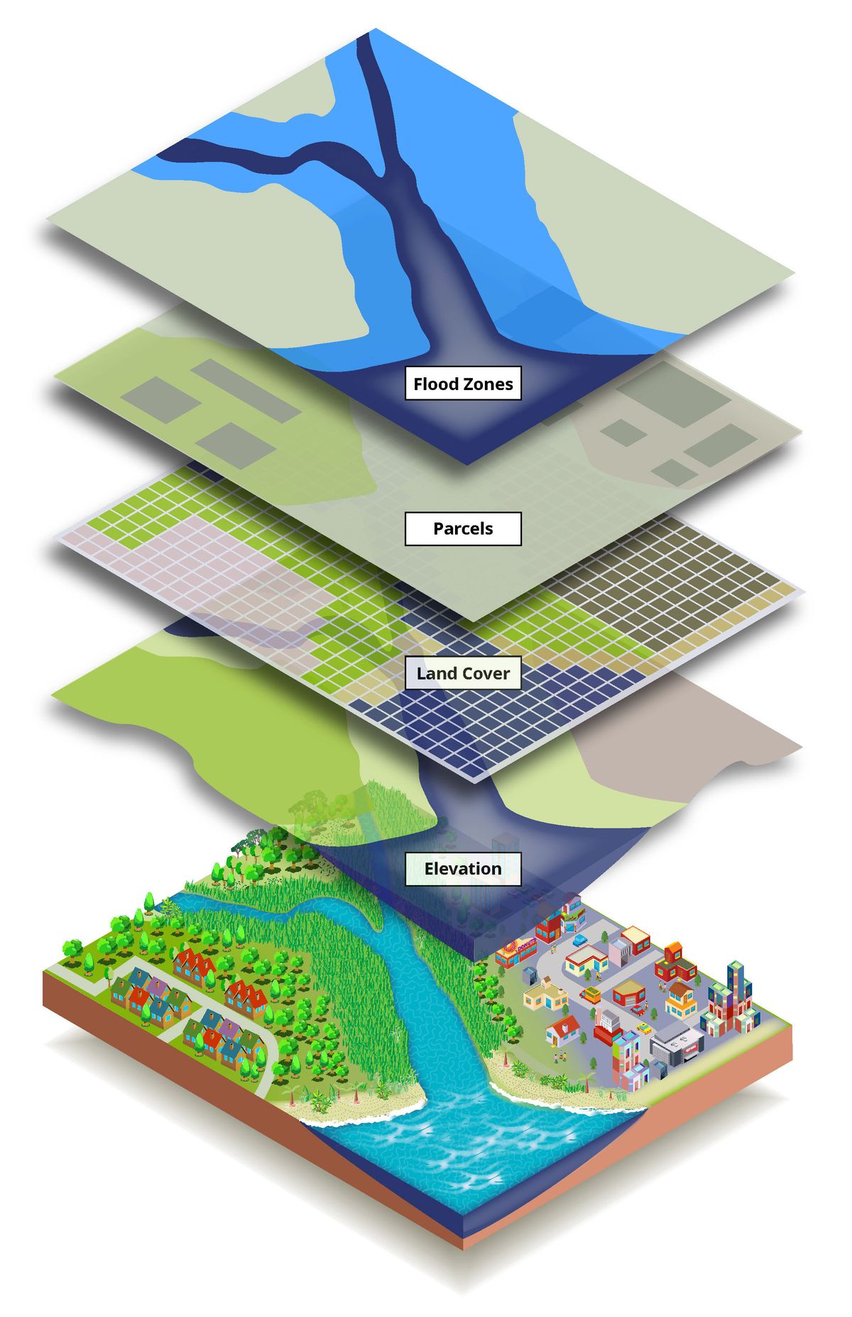
GIS & ICT Services
We provide comprehensive Geographic Information System (GIS) and Information and Communication Technology (ICT) Services to help organizations capture, store, analyze, and manage spatial data efficiently.
Land Titling & Management
We offer professional Land Titling and Management Services, ensuring secure and legally recognized land tenure for individual and corporate property acquisitions.

Environmental & Social Impact
We conduct detailed Environmental and Social Impact Assessments and assist clients in obtaining the necessary Environmental Permits for compliance and sustainable practices.

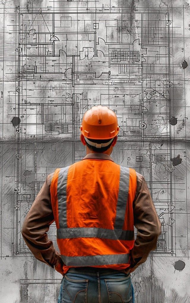
Consultancy & Engineering
In association with strategic partners we also provide Hydraulic/Hydrologic Studies, Civil Engineering Design, Land Valuation, Geotechnical and Geophysical Investigations, and Natural Resource Planning and Management.
Products & Training
Our products include all forms of Topographical Maps, Line maps, Cadastral Plans, Plan and Profile Drawings, Geographic Information Systems, Land Information Systems, Orthophoto maps, DTMs, Videos, Environmental Impact Statements and Survey Reports. We also provide customized training for our clients to facilitate their use of our products.